

Adams & Co. Legacy and Estate Services
Estate Clearance and Downsizing Handled With Care! We sort, value, and clear homes with a respectful eye for what matters. Serving Uxbridge, the Durham Region and York Region with a gentle, thorough approach.
Started Sun, Sep 27, 2026, 10:00 PM
Ended Sat, Oct 3, 2026 between 11:00 PM and 11:24 PM
Buyer's Premium
16%


Closing Bid $6.00
Bids 5
Views 62
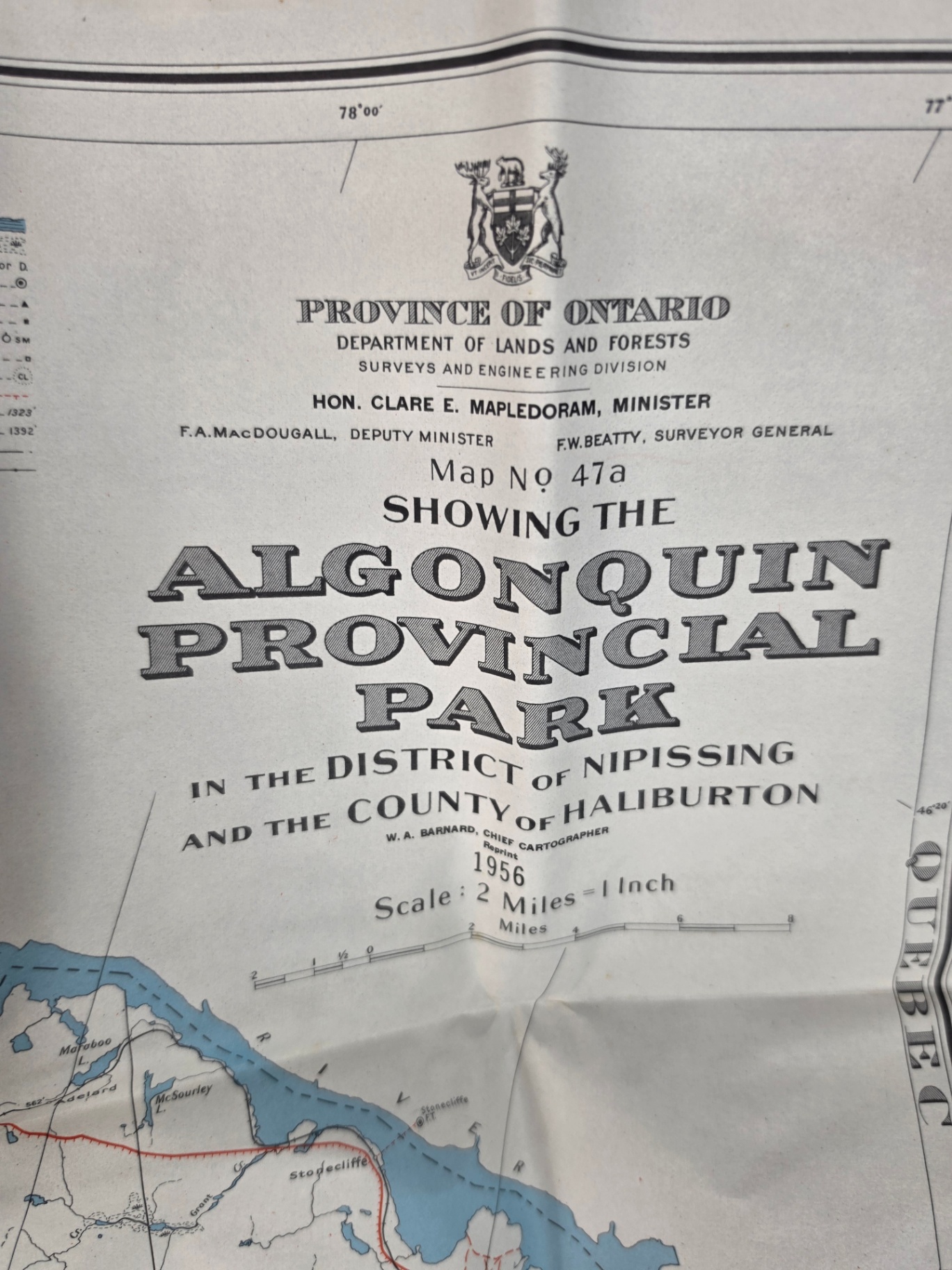
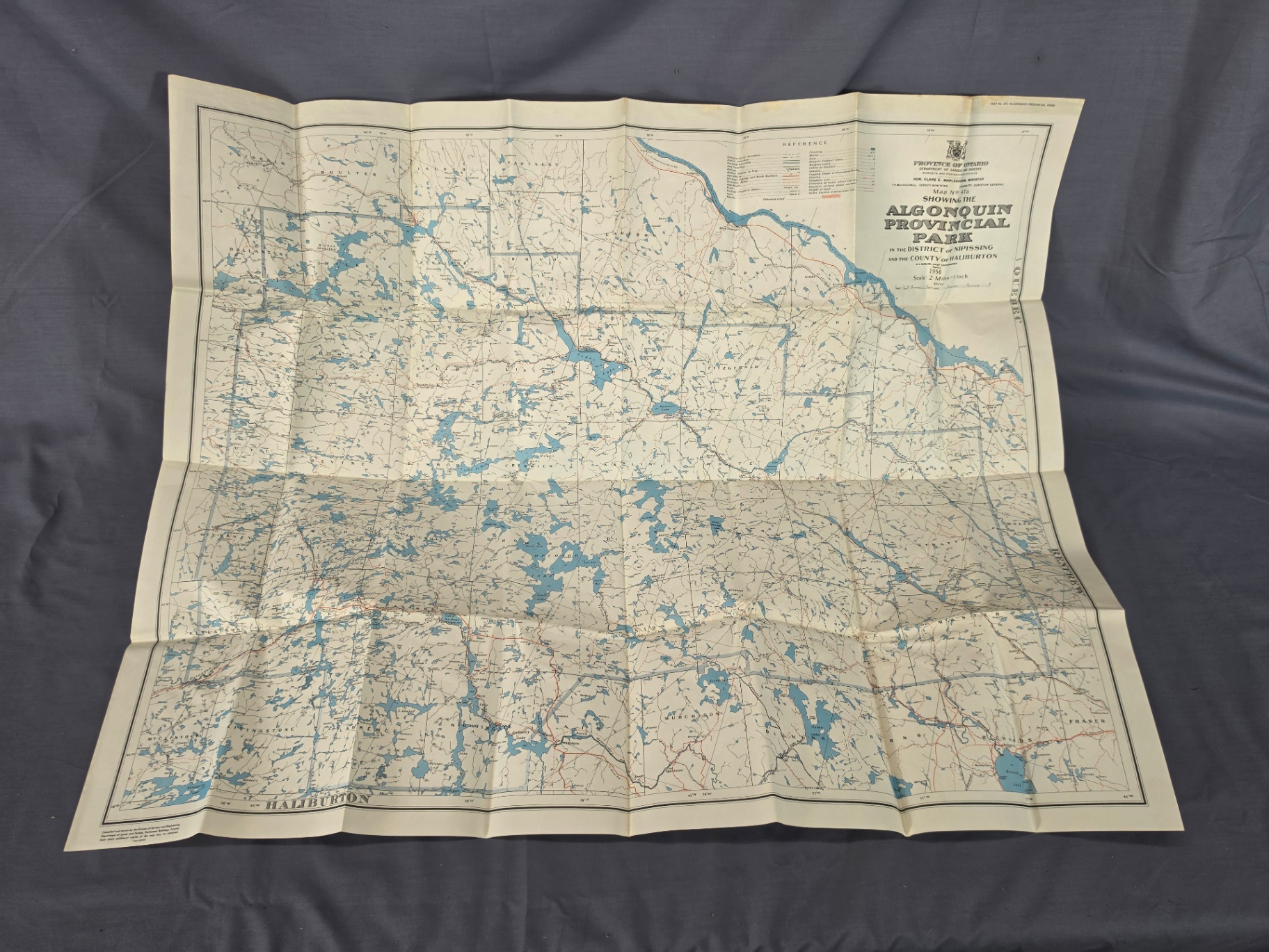
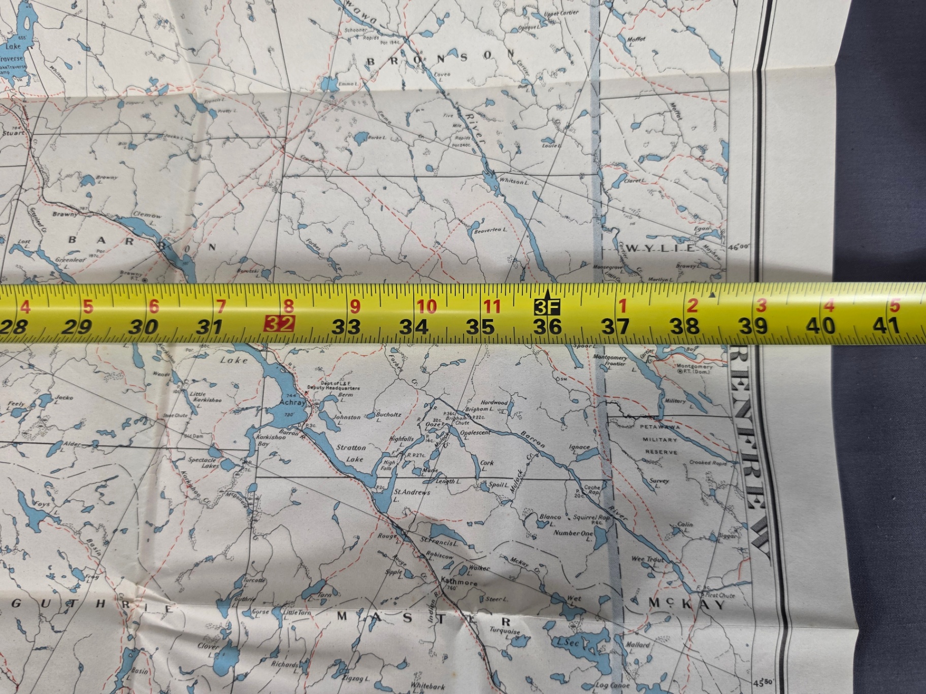
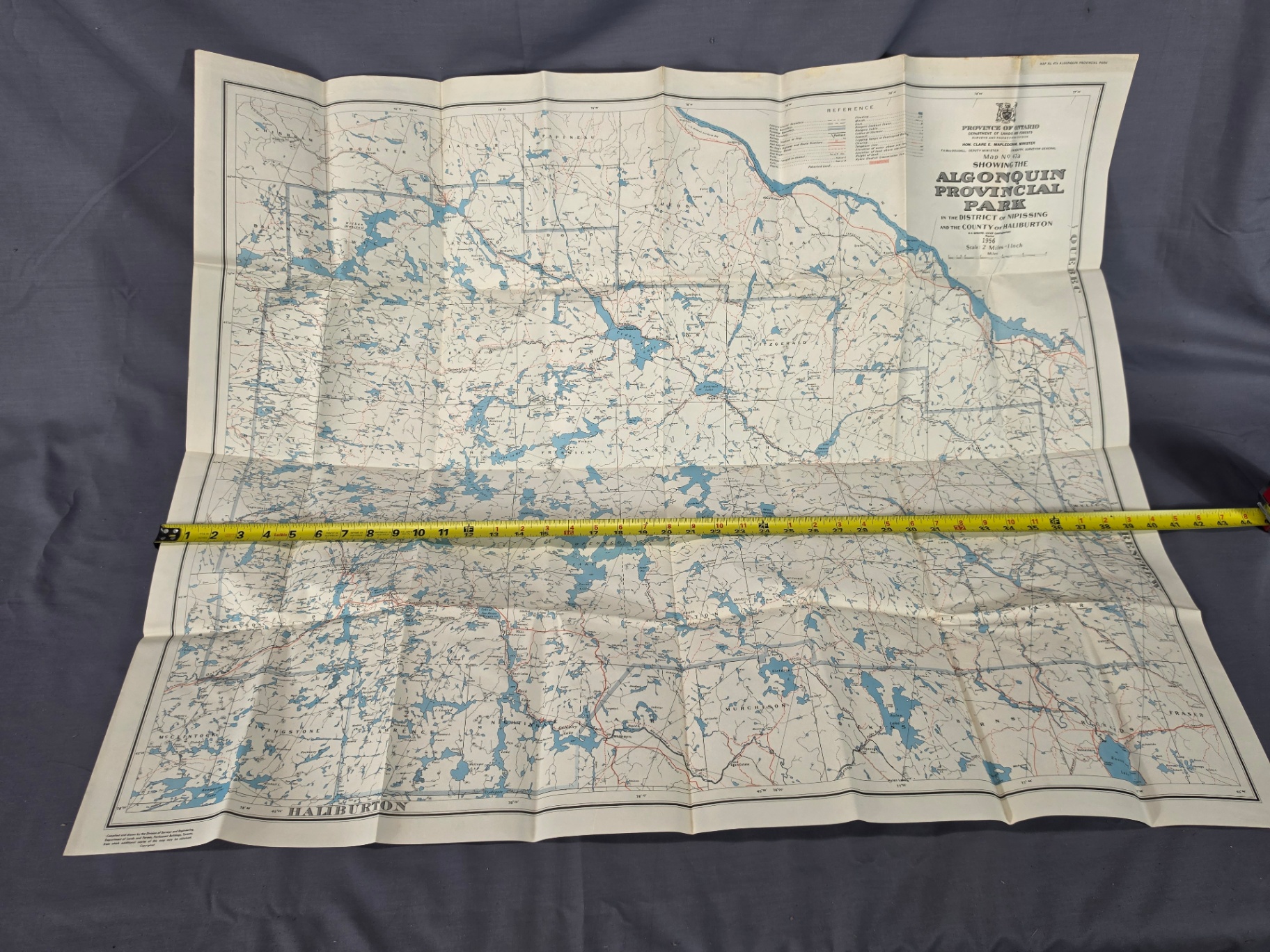
An authentic, vintage 1956 folding map of Algonquin Provincial Park (Map No. 47a). This highly detailed topographic piece was issued by the Province of Ontario Department of Lands and Forests under the direction of the Hon. Clare E. Mapledoram, Minister. The map spans the beautiful historic canoe routes, wilderness topography, and boundary lines across the District of Nipissing and the County of Haliburton. It features a scale of 2 Miles to 1 Inch, charting legendary lakes, historic railway lines, and old ranger paths. • Publisher: Province of Ontario Department of Lands and Forests (Surveys and Engineering Division) • Key Officials Credited: Hon. Clare E. Mapledoram (Minister), F.A. MacDougall (Deputy Minister), F.W. Beatty (Surveyor General), and W.A. Barnard (Chief Cartographer). • Date: 1956 Reprint • Dimensions: Approximately 39 inches wide (as shown with the tape measure in listing images). • Condition: Excellent vintage condition. The paper shows beautiful, uniform aging with clean graphics and vibrant colors. There are standard folding creases from storage, but the edges and intersections are exceptionally crisp with• no major tears or heavy staining. Perfect for collectors of Canadiana, historical cartography, vintage outdoors gear, or as a striking retro decor piece for a cabin, cottage, or office frame!
Payment Method
Park in the round about and someone will come out to help you.
Highest Bid
About 22 days ago
$6.00Bid
About 22 days ago
$5.00Bid
About 22 days ago
$5.00Bid
About 22 days ago
$2.00Bid
About 22 days ago
$1.00